The History of Chicago’s “L”
Published on November 28, 2024
You can ride the “L” and sample Chicago’s diverse pizza scene on eATLAS’ Brown Line Pizza Tour, which takes you to six pizza restaurants—ranging from traditional Neapolitan to deep dish—in six neighborhoods, all within a few blocks of a Brown Line station.
By Dave Lifton (@daveeatschicago)
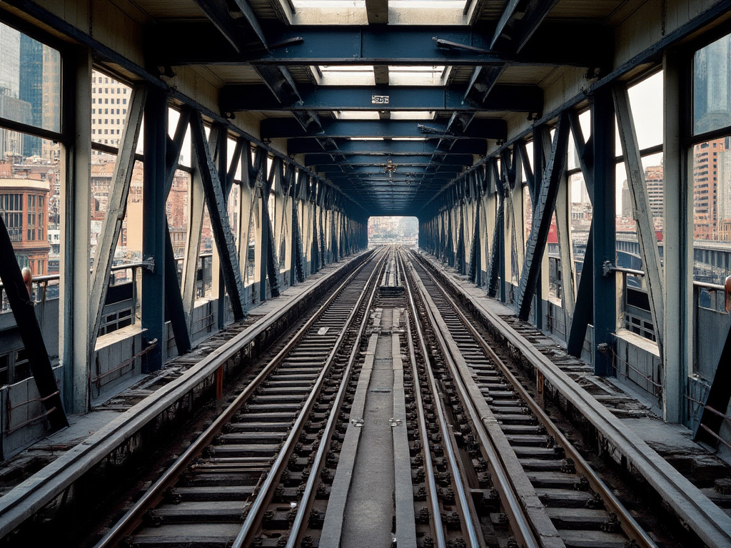
Of all the icons that define Chicago—think the Bean, Navy Pier, Sears Tower, or the Chicago Theatre—none have been around as long as its elevated train system, commonly known as the “L.”
Railroads had been coming into Chicago since 1848 for freight and interurban passengers. Mass transit came in the form of horse-pulled streetcars, starting around 1860. They were replaced by cable cars and electric streetcars about two decades later, but failed to fully meet the demand caused by Chicago’s unprecedented growth in the second half of the 19th century.
In 1888, the South Side Rapid Transit Railroad Company was formed with the goal of bringing an elevated train from downtown Chicago to the Illinois-Indiana border. The first segment opened on June 6th, 1892, with steam-powered service from a terminal at Congress Pkwy. to 39th St for a five-cent fare. By then, Chicago had been awarded the World’s Columbian Exposition, to be held in Jackson Park in 1893, and the line was extended three miles south, down to 63rd St., with a station opening inside the park two weeks into the fair.
As the South Side Elevated was being built, plans for a line on the West Side were also underway. The Lake Street Elevated opened on Nov. 6th, 1893, starting at California Ave. and terminating at Madison St. and Market St. (now Wacker Dr.).
The West Side would be further, and more comprehensively, served by the Metropolitan, an audacious network of four branches originating from a terminal on Franklin St. and going out to Logan Square, West Garfield Park, Humboldt Park, and Douglas Park. The lines opened between May 1895 and April 1896.
However, the three lines only reached the outskirts of downtown, meaning that people would still have to walk or take a streetcar to their destinations. Enter Charles Tyson Yerkes, who had made a fortune in streetcars and had become the majority owner of the Lake Street “L.” His vision was to have them share the same tracks through downtown. But state law required him to get written approval of the majority of property owners on the streets where he wanted to build. Yerkes, who was not above bribery or other chicanery, eventually got the signatures.
The Lake Street section was the first to open, in September 1895, followed by Wabash Ave., Wells St., and Van Buren, which was completed two years later. The downtown tracks became known as the Union Loop. In time, the “Union” would disappear, and the tracks, and the neighborhood bounded by them, would forever be called “The Loop.”
Yerkes was also building the Northwestern Elevated, which would connect the North Side to the Loop. Opened in May 1900, it ran up to Wilson Ave. in Uptown. Shortly thereafter, Yerkes’ methods had infuriated Mayor Carter Harrison, the City Council, and the public to the point where he left Chicago for New York.
Proverbially, Yerkes was run out of town on a rail.
Lines were expanded throughout the next few decades, including a section of the South Side “L” that went to the Union Stock Yards, and to the near north and west suburbs. But the lack of cooperation between the companies was hurting the system. The first step towards consolidation was taken with the 1911 formation of the Chicago Elevated Railways Collateral Trust, and completed 13 years later with the Chicago Rapid Transit Company.
In order to ease congestion on the Loop tracks, New Deal funds were given to the city in 1938 to build a pair of subways. The State St. subway was first, in 1943, and took the Howard Line (as the Metropolitan branch had been called) underground to Roosevelt. The Dearborn tracks connected the Logan Square and Garfield Park branches underground and was completed in 1951.

In between, the entire mass transportation system—the “L,” streetcars, and buses—became municipally owned with the creation of the Chicago Transit Authority in 1947. The streetcars were discontinued in 1958.
Under the CTA’s guidance, many low-trafficked stations (and entire branches) were closed to reduce expenses, but service was improved to the South Side with the opening of the Dan Ryan branch in 1969, and the Logan Square line was extended to O’Hare International Airport between 1970 and 1984.
The biggest modern changes took place in 1993, starting with a realignment of some crosstown routes and the elimination of the hyphenated line names (North-South, Lake-Englewood-Jackson Park, O’Hare-Congress-Douglas) to a color-coded system (Red, Green, Blue). Later that year, the Orange Line opened, giving the Southwest Side long-overdue service, and connecting Midway Airport with the Loop. The Pink Line, a reconfiguration of the old Douglas Park line, debuted in 2006.
Today, the “L” consists of eight lines, nearly 1,500 cars, 224 miles of track, and 146 stations, with the most recent, Damen (Green Line) opening in the summer of 2024. More than 103 million rides are taken annually, shuttling passengers to Chicago’s landmarks and neighborhoods quickly and efficiently.

The Adventure starts when you say it does.
All eATLAS Adventures are designed and built by experienced eATLAS Whoa!Guides. They're always on. Always entertaining. And always ready to go.
Check out our Adventures!